Delhi, India, Asia, Pacific and Middle East
Posted 7 views
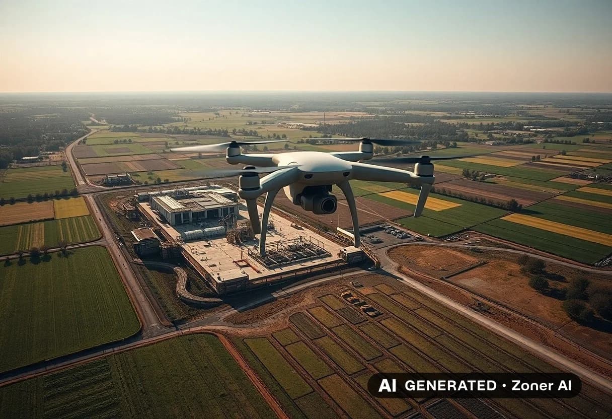
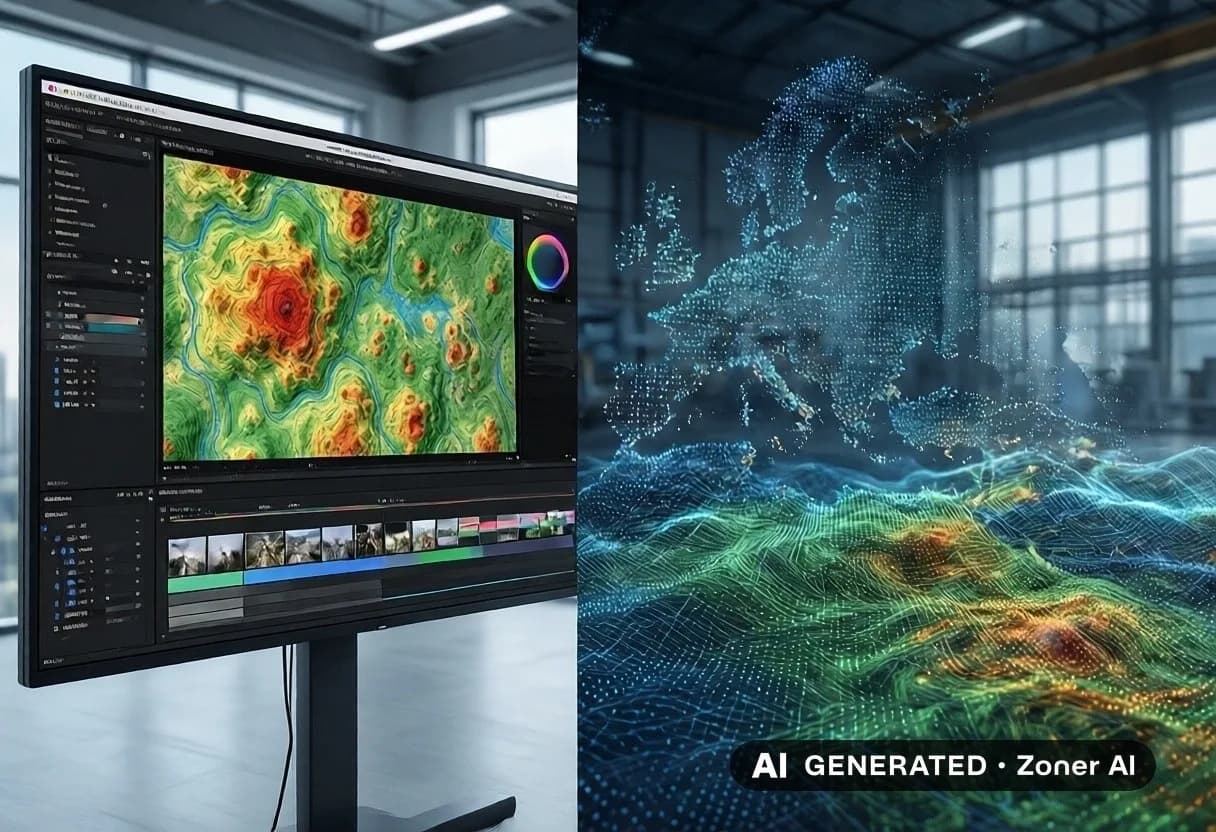
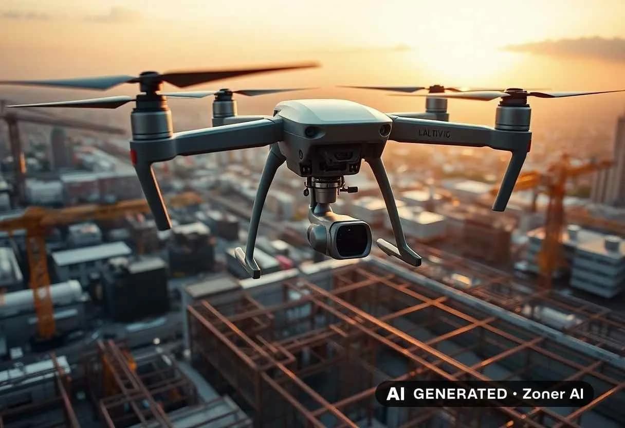
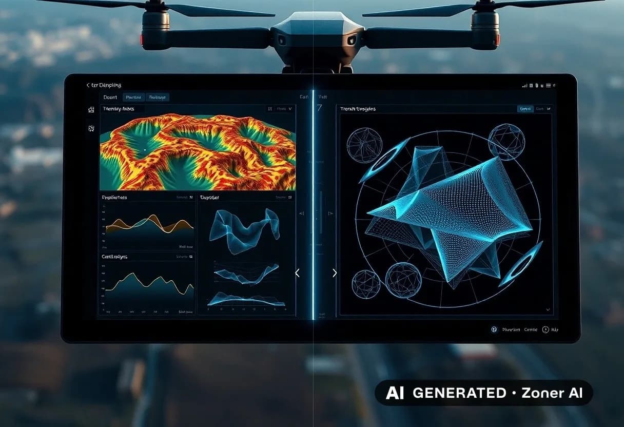
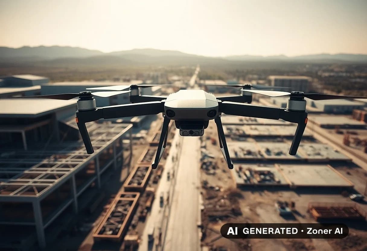
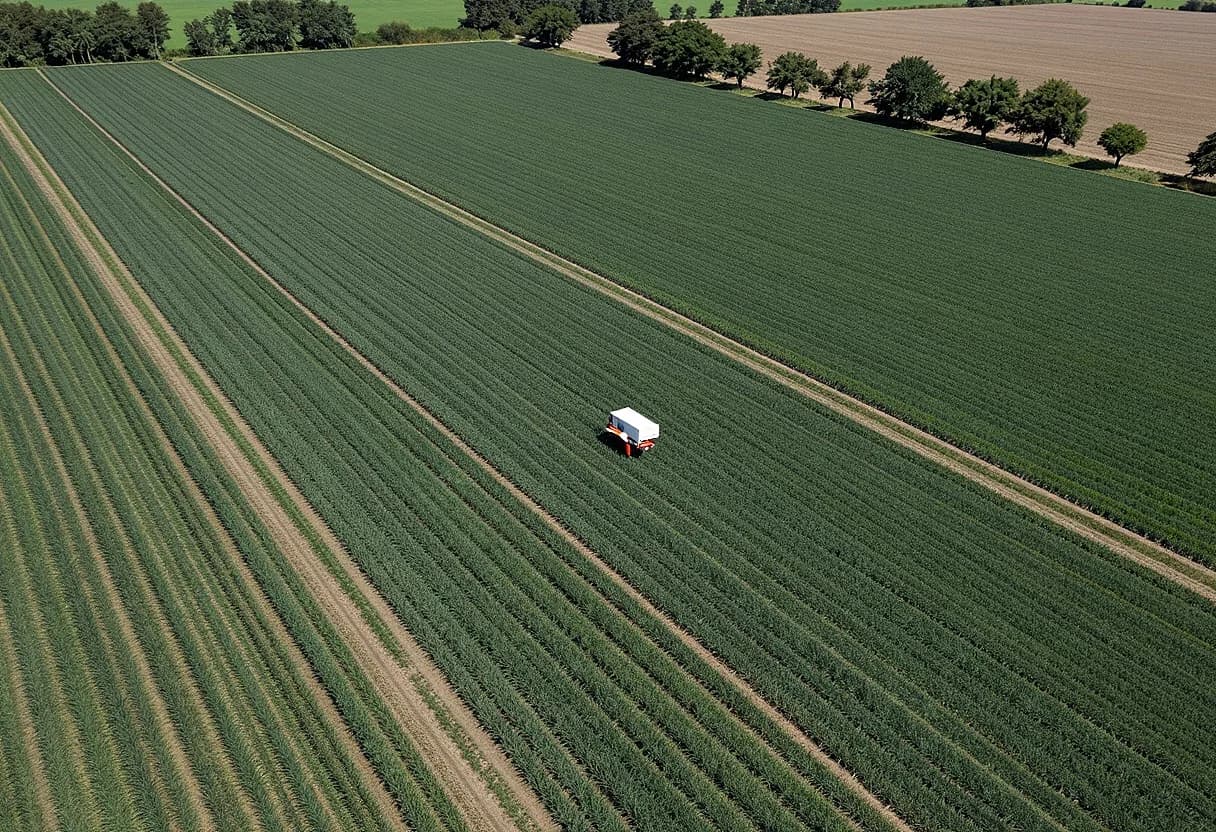
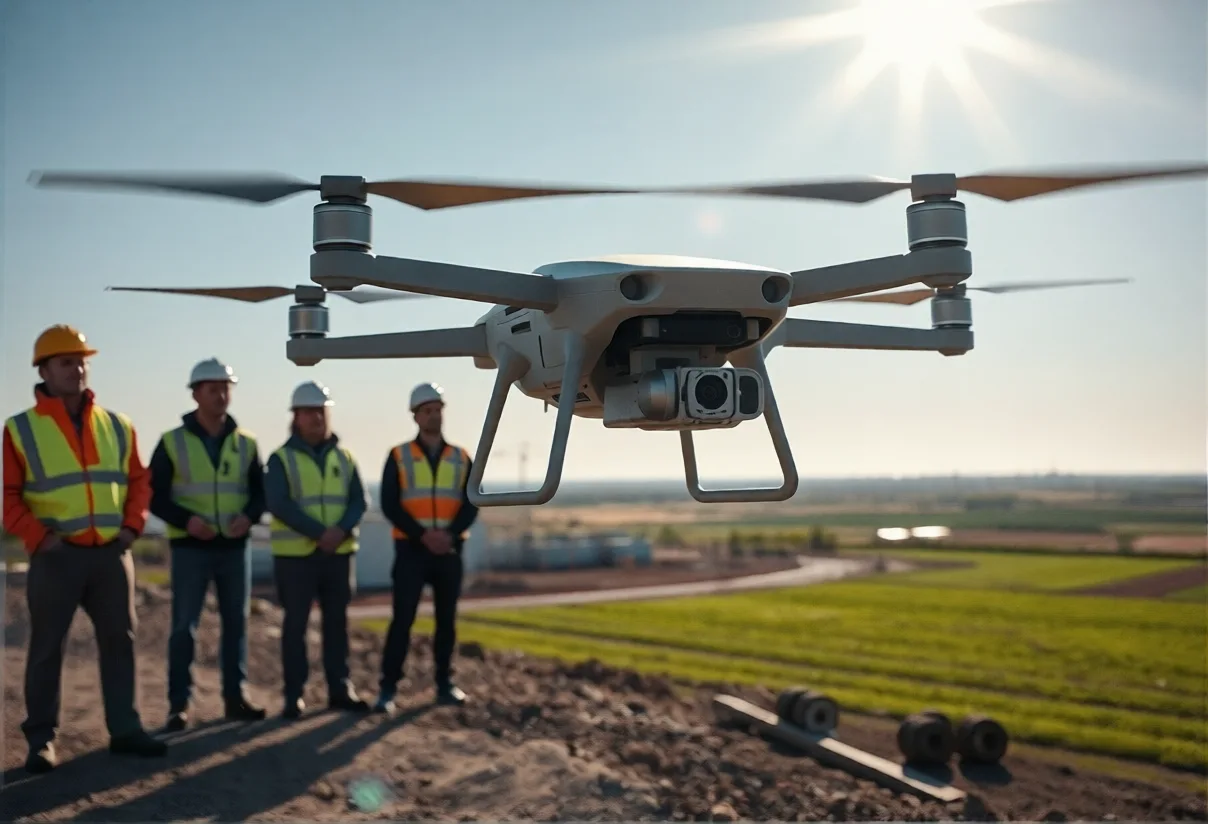
Unlock the potential of precise mapping with our cutting-edge mapping drones! Perfect for surveying, agriculture, and urban planning, these high-tech drones provide detailed aerial imagery and accurate topographical data. Enhance your projects with the ability to capture hard-to-reach areas and streamline your workflow. Our mapping drones are equipped with advanced technology and user-friendly software, making them ideal for professionals and enthusiasts alike. Don’t miss out on revolutionizing your mapping experience!
Safety Tips
- • Meet in a public place
- • Don't pay in advance
- • Check the item before buying
- • Beware of deals that seem too good
Approximate location